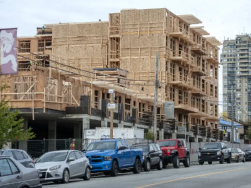
Researchers at the University of British Columbia have developed a comprehensive map identifying publicly owned land across British Columbia and assessing its suitability for affordable housing. The map, which went live online at 11:30 a.m. on Tuesday, catalogues over 50,000 publicly owned parcels throughout the province.
Massive housing potential identified
Craig Jones, associate director of the housing assessment resource tools project at UBC, estimates that the identified land in Metro Vancouver alone could accommodate 273,000 units of housing. The map scores each plot from 0 to 100 based on factors such as location, slope, vacancy, and risk of fires or floods.
“For a long time we’ve been proponents of more non-market housing in Canada and in B.C. to address this housing crisis that we face, and specifically the affordable housing crisis that we face,” said Jones. He added that even if the tool helps produce “a few thousand more non-market units than we’ve got, than would otherwise be built, I think that’s a win.”

Focus on Metro Vancouver
While the 50,000 parcels are spread across B.C., much of the land with high potential is concentrated in Metro Vancouver, where there is good access to schools, health care, and other services. Jones noted that the map considers existing housing density in the area as a key indicator of future development capacity.
Each property’s suitability was evaluated based on whether it is vacant or underutilized, its slope, and environmental risks. Jones cited an example of an old federal services building at the corner of Main and Broadway, an unused site that could host almost 300 housing units across three adjacent plots identified on the map.
Government collaboration
In a statement, the Ministry of Housing and Municipal Affairs welcomed the map and confirmed it had been working with UBC to identify provincial land holdings. “Complementary inventories and public lands analysis are also underway within the provincial government to support the identification of underutilized government-owned lands that may support housing programs and other community uses,” the ministry said.
Jones emphasized that the map is a preliminary tool and not a substitute for professional due diligence. “This particular B.C. public lands map, it’s not going to take the place of due diligence. The professionals that do this are going to have to take a look at, OK, you know, here’s a parcel, it’s in a good location. It seems to have all these good characteristics,” he said.
The initiative comes as the NDP government pursues upzoning and rental affordability measures. Jones said the idea for the public land map has been “percolating in his head for five years.” The map is expected to help accelerate the identification of suitable sites for non-market housing development across the province.