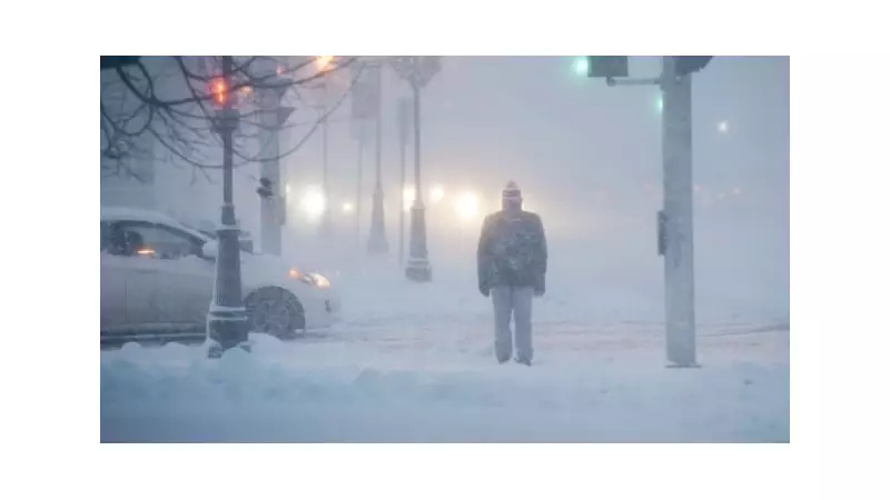
Environment and Climate Change Canada has triggered cold weather warnings for multiple communities across Manitoba, alerting residents to dangerously low wind chill values that could reach -40.
Widespread Warnings Across the Province
The federal weather agency issued the alerts on the morning of Monday, January 19, 2026. The warnings cover several regions, indicating a significant and potentially hazardous drop in temperatures amplified by wind. This kind of extreme cold poses severe risks, including frostbite on exposed skin in minutes and increased danger for vulnerable populations.
Understanding the Wind Chill Hazard
Wind chill is a measure of how cold it feels when wind is factored in with the actual air temperature. A value of -40 represents an extreme threshold where the risk of frostbite and hypothermia escalates rapidly. Environment Canada issues such warnings when these conditions are imminent or occurring to prompt public action.

During these events, officials strongly advise residents to:
- Limit time outdoors, especially for children and the elderly.
- Dress in multiple layers, covering all exposed skin.
- Be aware of the early symptoms of frostbite and hypothermia.
- Ensure pets have adequate shelter and are brought indoors.
Staying Safe in Severe Winter Conditions
Extreme cold warnings are a critical part of Canada's public weather alert system. For Manitobans, this event is a stark reminder of the province's harsh winter potential. Residents are encouraged to monitor updated forecasts from Environment and Climate Change Canada, prepare their homes and vehicles for the deep freeze, and check on neighbours who may need assistance.
While the warnings specify wind chill values reaching -40, the actual air temperature will also be profoundly low. Such weather can impact infrastructure, travel, and daily routines, making preparedness essential for safety across the warned regions.