Winnipeg residents should brace for a cool spell before temperatures begin to rally later this week, according to meteorologist Colleen Bready. In her latest forecast for April 28, 2026, Bready detailed current conditions and the expected warming trend.
Current Conditions and Short-Term Outlook
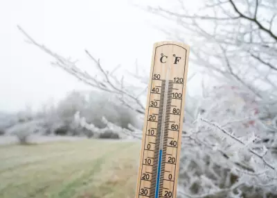
As of Tuesday afternoon, Winnipeg is experiencing cooler-than-average temperatures, with a high of only 8°C. A low-pressure system moving through the region has brought cloud cover and a chance of light rain showers. Winds are light from the north at 15 km/h, adding a slight chill to the air.
Overnight, temperatures are expected to drop to around 1°C, with partly cloudy skies. Wednesday will remain cool, with a high near 10°C and a mix of sun and cloud. However, a shift in the weather pattern is on the horizon.

Warming Trend Later This Week
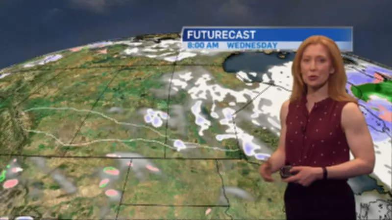
By Thursday, a high-pressure system will build over the Prairies, ushering in warmer air from the south. Daytime highs are forecast to climb to 16°C under sunny skies. Friday will see even milder conditions, with a high of 20°C and light winds.
The weekend looks promising as well, with Saturday and Sunday both expected to reach the low 20s. Overnight lows will remain comfortable, around 8–10°C. Bready notes that this rally will bring a welcome break from the recent cool weather.
Additional Weather Headlines
In other news, a separate report highlights that the cool spell is part of a broader pattern affecting parts of Manitoba. Residents are advised to dress warmly for the next couple of days before enjoying the warmer weekend.
Stay tuned to Polar Herald for updates on Winnipeg’s changing weather conditions.