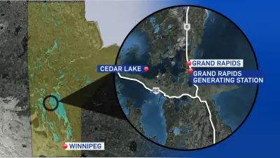
The Meteorological Mystery of Alberta Clippers
When Toronto residents brace for another snowy onslaught under a special weather statement mentioning an "Alberta Clipper," many Albertans experience a peculiar mix of pride and perplexity. Why does this western Canadian province get blamed for freezing conditions affecting cities thousands of kilometers away? The answer lies in a fascinating intersection of weather science and regional folklore that has evolved into established meteorological terminology.
From Folk Coinage to Scientific Classification
The term "Alberta Clipper" began as a creative meteorological designation rather than a formal scientific classification. During the 1920s, weather observers noticed distinctive patterns of fast-moving, dry, ultra-cold winter winds that seemed to originate near the Rocky Mountains before racing eastward across the continent. These weather systems would develop at the feet of the mountains in Alberta before whistling their way across the plains, eventually assaulting eastern North America with frigid air masses.
It was Rheinhart "Bill" Harms (1916-2009), a respected Wisconsin-based meteorologist, who coined the memorable phrase "Alberta Clipper" approximately midway through his distinguished career. The name cleverly combined the geographical origin with the speed of these weather systems, reminiscent of the fast sailing ships called clippers. This catchy terminology quickly propagated among Harms' fellow Midwestern meteorologists, becoming part of regional weather vocabulary long before receiving formal scientific validation.

The Scientific Validation Process
For decades, Alberta Clippers remained primarily a folkloric weather term used by television meteorologists and regional forecasters. The transformation from colloquial expression to scientifically recognized phenomenon occurred remarkably recently. At the turn of the 21st century, meteorologists began systematically studying and classifying these weather systems as distinct synoptic events.
The watershed moment arrived in 2007 with the publication of a groundbreaking paper titled "A Synoptic Climatology and Composite Analysis of the Alberta Clipper" by B.C. Thomas and J.E. Martin in the journal Weather and Forecasting. This comprehensive study established Alberta Clippers as legitimate meteorological phenomena, complete with detailed tracking data, classification criteria, and scientific analysis. The researchers identified and documented 177 distinct Alberta Clipper events, providing maps, dates, and technical descriptions that transformed these weather systems from regional folklore to scientifically recognized cyclones.
Characteristics and Continental Impact
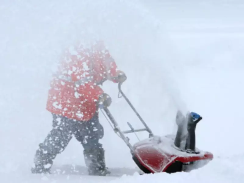
Alberta Clippers represent a specific type of fast-moving winter cyclone characterized by several distinctive features. These weather systems typically form in Alberta during the coldest months, particularly December and January, before accelerating eastward across the Canadian prairies and into central and eastern North America. Their defining characteristic is a relative lack of available moisture as they traverse the plains, which explains why they often bring bitterly cold temperatures without significant precipitation initially.
The true snow-producing potential of Alberta Clippers emerges when these systems encounter moisture sources, particularly the Great Lakes. As the dry Arctic air masses interact with the relatively warmer lake waters, they can generate substantial lake-effect snowfall, sometimes dumping large amounts of snow in short periods. Historical data indicates that the median track of these systems passes well north of Georgian Bay, though their effects can be felt throughout the Great Lakes region and beyond.
Regional Perceptions and Meteorological Reality
The naming of these weather systems after Alberta creates an interesting psychological dynamic for residents of the province. While Albertans might initially feel a spark of recognition when hearing their province mentioned in weather forecasts across the continent, this is often followed by consternation about being associated with unpleasant winter conditions affecting distant regions. The reality, however, is more nuanced than simple blame attribution.

Meteorologically speaking, Alberta serves as the birthplace rather than the controller of these weather systems. In some cases, Alberta Clippers actually begin as chinook winds within the province—those warm, dry winds that descend the eastern slopes of the Rockies and can bring temporary winter relief to Albertan communities. The transformation from local chinook to continental Alberta Clipper represents a fascinating example of how regional weather phenomena can evolve into systems with far-reaching impacts.
Contemporary Understanding and Future Research
Today, Alberta Clippers occupy a well-established position in meteorological literature and forecasting models. The scientific community continues to refine understanding of these systems, with research exploring their formation mechanisms, tracking patterns, and climatic influences. Modern forecasting technology allows meteorologists to predict the development and movement of Alberta Clippers with increasing accuracy, providing valuable advance warning to communities in their path.
The evolution of Alberta Clippers from folkloric weather term to scientifically validated phenomenon illustrates how regional observations can contribute to broader meteorological understanding. What began as a clever coinage by a Midwestern meteorologist has become part of the standard vocabulary for describing specific winter weather patterns across North America. As research continues and climate patterns potentially shift, the study of Alberta Clippers remains an active area of meteorological investigation, ensuring that these fast-moving winter winds will continue to be both forecast and analyzed for years to come.