Winter Storm Descends on Northern Ontario
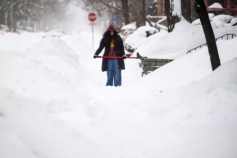
A significant winter storm system is expected to deliver severe weather conditions across Northern Ontario today, affecting communities from Timmins westward to Thunder Bay. Environment Canada has issued various watches and warnings as the region braces for the brunt of this powerful weather event.
Affected Areas and Expected Conditions
The storm system is forecast to impact a wide swath of Northern Ontario, with communities west of Timmins through to Thunder Bay expected to experience the most severe conditions. Meteorologists are predicting heavy snowfall, reduced visibility, and potentially dangerous travel conditions throughout the affected regions.
Rick Wyman provided the latest updates as the severe winter weather moved into the Timmins area. The timing of this storm, arriving in late November, signals an early and potentially intense start to the winter season for Northern Ontario residents.
Regional Weather Patterns and Precautions
Environment Canada has indicated that Ontario and Quebec may see additional winter storms later this week, suggesting this could be the beginning of an active winter weather pattern. The current system follows predictions that Quebec could experience what some are calling a 'winter of yesteryear' with more traditional Canadian winter conditions.
Local authorities are advising residents to prepare for potentially hazardous conditions and to monitor weather updates regularly. Travelers are encouraged to check road conditions and consider postponing non-essential trips until the storm passes.
The sudden onset of severe winter weather serves as an important reminder for Northern Ontario residents to ensure they have adequate emergency supplies, including winter survival kits in vehicles and sufficient provisions at home in case of power outages or transportation disruptions.


