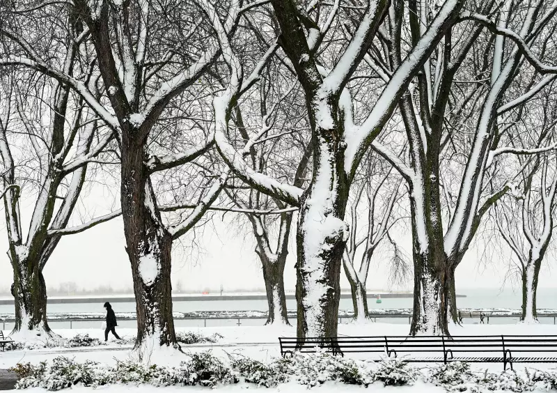
Toronto Braces for Bone-Chilling -24°C Wind Chill as Arctic Air Mass Intensifies
A special weather statement remains in effect for Toronto and surrounding regions as a powerful Arctic air mass descends, bringing dangerously cold wind chills expected to make it feel like -24°C on Friday. This persistent deep freeze is part of a broader cold snap gripping much of Canada, with significant snowfall accompanying the plummeting temperatures. Environment Canada has issued warnings urging residents to take precautions against frostbite and hypothermia during outdoor exposure.
National Cold Wave Impacts Multiple Provinces
The extreme weather extends far beyond Ontario, creating hazardous conditions across the country. In Montreal, a deep freeze is forecast to intensify over the weekend, while Maritime provinces are experiencing the effects of a polar vortex and major winter storm system moving through the United States. Gas and diesel prices have increased again in the Maritimes amid the challenging conditions.
Regina has responded to the crisis by opening a new 24-hour warming centre as cold grips the city, with many residents seeking escape through travel to sunny destinations. Similarly, communities are dealing with various cold-related incidents, including a serious multi-vehicle collision involving a snowplow driver in Southgate and widespread school bus cancellations and closures across affected regions.

Public Safety Concerns and Emergency Responses
The extreme conditions have prompted various emergency measures and raised safety concerns nationwide. In Saskatchewan, an independent review of hospital security has been launched amid rising safety concerns, while Essex-Windsor EMS is proposing changes to how 911 calls are handled, potentially including nurse triage on emergency lines.
Several communities are grappling with additional challenges compounded by the weather. Steinbach has been denied provincial disaster assistance following recent storms and flooding, while 99 McNaughton residents remain displaced after another fire during this cold period. Transportation has been particularly affected, with Highway 11 from Orillia to Muskoka experiencing another difficult day for drivers navigating the treacherous conditions.
Broader Context of Winter Weather Patterns
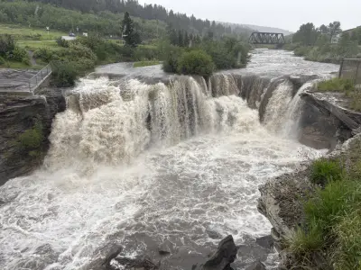
This extreme cold event occurs as scientists continue to study changing winter patterns in a warming climate. Researchers are examining how winter phenomena like "exploding trees" occur during rapid temperature drops and exploring adaptations for winter sports events like the Olympics as global temperatures rise. The current coast-to-coast cold warnings, forecasting lows near -50°C in some areas, highlight the ongoing volatility of Canadian winters even amid broader climate changes.
As Toronto and much of Canada endure this Arctic blast, officials emphasize the importance of checking on vulnerable community members, properly heating homes, and limiting outdoor exposure during the most extreme temperature periods. The weather system is expected to gradually moderate, but not before delivering one of the coldest stretches of winter thus far.