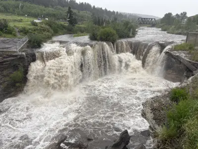
Environment Canada has issued a severe thunderstorm watch for Edmonton, warning that conditions are favorable for the development of severe thunderstorms beginning late this morning. The alert, issued at 8:32 a.m., indicates that these storms could bring strong wind gusts, large hail, and heavy rain, persisting into the evening.
Current Conditions
As of Friday morning, the temperature at the Edmonton Blatchford weather station is 13.6 C, with winds from the south-southeast at 4 km/h. The forecast calls for increasing cloudiness, with showers beginning early this afternoon and a risk of thunderstorms. Fog patches are expected to dissipate early in the morning.
Friday's Forecast
Today, expect increasing cloudiness with showers starting early afternoon. There is a risk of thunderstorms, and winds will become northwest at 20 km/h gusting to 40 near noon. The high will reach 17 C, with a UV index of 5 (moderate). Tonight, showers will end near midnight, then skies will clear. There remains a risk of a thunderstorm this evening. Winds will become light, and the low will be 8 C.

Saturday looks sunny, becoming a mix of sun and cloud in the afternoon, with a high of 19 C and a UV index of 5.
Safety Warnings
The warning emphasizes that heavy rain can cause flash flooding and significantly reduce visibility. Strong wind gusts may damage trees, buildings, and overturn vehicles. Large hail can cause significant damage and injury. Severe thunderstorm watches are issued when conditions are favorable for thunderstorms capable of producing damaging hail, wind, or rain.
Sunrise and Sunset
Sunrise today is at 5:08 a.m., and sunset at 9:57 p.m. Normal temperatures for this time of year are a maximum of 20 C and a minimum of 9 C.
Residents are advised to stay informed and take precautions as the storms develop. Stay tuned to local weather updates and be prepared for potential severe weather.