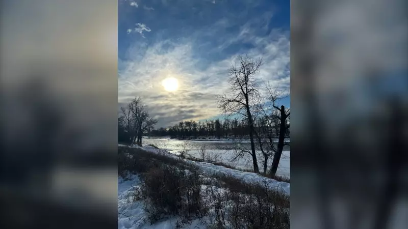
A powerful chinook weather pattern has settled over Calgary, promising a significant and welcome January thaw. Residents can expect temperatures to remain above freezing until at least Wednesday evening, according to the latest forecasts.
What This Chinook Means for Calgary
The signature warm, westerly winds of a chinook are now in control of the city's weather. While the weekend will be notably windy, the air flow is coming from the west, which is the classic setup for this warming phenomenon. This pattern is responsible for the unseasonably mild conditions pushing out the deep freeze.
Meteorologists note that a light sprinkle is possible on Sunday, but the dominant story will be the persistent mild air. This extended period of above-zero temperatures, starting from the weekend and holding through mid-week, offers a notable break from typical January cold snaps.

Context and Broader Weather Impacts
This Calgary-focused weather event occurs amid other significant national stories. From evacuation efforts hampered by weather in Kashechewan First Nation to high streamflow advisories for much of the B.C. coast due to approaching storms, Canada's climate is showing its varied face. The record-breaking warmth and high winds reported in Windsor align with the powerful atmospheric forces also affecting Alberta.
While Calgarians enjoy the reprieve, it's a reminder of the dynamic and sometimes extreme nature of Prairie winters, where temperatures can swing dramatically due to these unique chinook events.
The forecast, issued by meteorologist Danielle Savoni, provides a clear outlook for the coming days. Residents should enjoy the milder conditions but stay prepared for the return of seasonal temperatures following the chinook's departure on Wednesday.