Calgary Embraces a Chinook-Driven Warm-Up for the Week Ahead
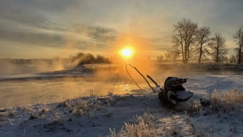
Calgarians are set to experience a significant shift in weather patterns as the iconic chinook winds make their presence felt across the city. After a notably chilly start to the week, a return to relative warmth is on the horizon, offering a welcome respite from the deep winter freeze.
A Gradual Thaw Takes Hold
While Tuesday morning began with brisk, below-freezing temperatures, the afternoon brought a noticeable change. The arrival of the chinook, a warm, dry wind that descends from the Rocky Mountains, is pushing thermometers upward. Daytime highs are forecast to remain above freezing for the entire week, marking a pleasant departure from the recent cold snap.
This meteorological phenomenon is a familiar one for Alberta residents, often leading to rapid temperature increases and melting snow. The current pattern suggests a sustained period of milder conditions, providing relief for both residents and infrastructure strained by winter's grip.
Contextualizing the Regional Weather Picture
The warming trend in Calgary stands in contrast to other parts of the country bracing for extreme cold. Forecasts indicate that Ontario, Quebec, and the Maritimes could see temperatures plunge to near -50°C this weekend due to a colossal winter storm affecting much of the United States. Meanwhile, a separate weather system has left travellers stranded in Winnipeg following an Ontario snowstorm.
In Alberta itself, other communities are dealing with varied incidents, from children falling ill in a Canmore hotel pool to a fatal weekend fire in Cochrane. However, for Calgary specifically, the focus is on the positive shift toward more manageable winter weather.
The Science and Impact of Chinook Winds
Chinooks occur when moist air from the Pacific Ocean rises over the mountains, cools, and releases precipitation. As the now-dry air descends the eastern slopes, it compresses and warms rapidly. The effects in Calgary can be dramatic:
- Temperature swings of 20°C or more within hours
- Rapid snow melt and improved road conditions
- Changes in barometric pressure that some residents report affecting well-being
- A characteristic "chinook arch" cloud formation often visible in the western sky
This week's event is a classic example of how local geography shapes Alberta's climate, providing periodic breaks from the harsh winter typical of the Canadian Prairies. Residents are advised to enjoy the milder temperatures while remaining prepared for the variability that defines the region's weather.


