


Politics

Pro-Palestine Surgeon Adam Hamawy Wins Democratic Primary in New Jersey
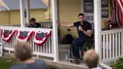
Adam Hamawy, a surgeon who treated patients in Gaza and became a pro-Palestine hero, won the Democratic primary in New Jersey's 12th District and is likely to win in November.


Business
Nanaimo Food Bank Launches Summer Fundraiser Amid Rising Demand
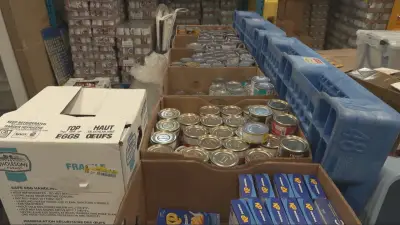
Loaves & Fishes Community Food Bank in Nanaimo launches a summer fundraiser as demand for food support increases by 3-10% compared to last year.


Sports

Kitchener Rangers and Fans Celebrate Historic Memorial Cup Victory
Hundreds of fans joined the Kitchener Rangers for a Memorial Cup celebration, with Captain Cameron Reid thanking supporters for their dedication.


Lifestyle
P.E.I. Resort Named to Oprah Winfrey's 2026 Hotel O-wards List
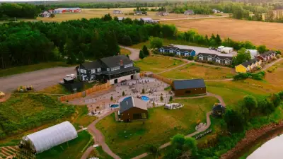
Mysa Nordic Spa and Resort in Prince Edward Island has been selected for Oprah Winfrey's prestigious 2026 Hotel O-wards list, highlighting top global destinations.


Health


Environment
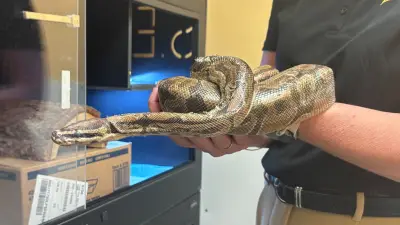
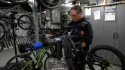
Ball Python Survives Sewage Plant Trip in Windsor
A ball python was discovered alive in an east Windsor sewage plant on June 2, 2026. The snake's survival amazed workers and highlights unusual wildlife encounters in urban infrastructure.

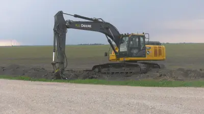
First 2+1 Highway Pilot Starts in Northern Ontario
Clearing is underway off Highway 11 for North America's first 2+1 highway safety pilot, a 3-lane design with a median barrier aimed at reducing fatalities.

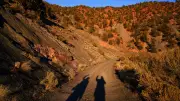
Witness Recalls Insane Spray Lakes Rockslide
A witness describes the terrifying Spray Lakes rockslide near Canmore, Alberta, calling it 'insane.' No injuries reported but area closed for assessment.
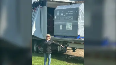
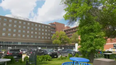
Manitoba Communities Face Millions After Windstorm
A massive windstorm in Manitoba has left several communities in a state of emergency, with cleanup and repair costs expected to reach millions of dollars. The storm caused widespread damage to infrastructure and property.
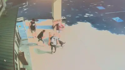
Pit Bull Euthanized After Maple Ridge Dog Attack
A pit bull was euthanized and another dog is recovering after a violent attack in Maple Ridge, B.C., captured on video. The injured pet underwent surgery.
