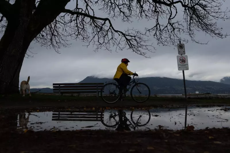
An unseasonable warm spell has swept across British Columbia, toppling longstanding daily high temperature records in the immediate aftermath of a significant atmospheric river event. The dramatic shift from heavy rain to balmy conditions has left meteorologists and residents alike noting the intensity of the province's recent weather extremes.
Record-Breaking Warmth Follows Deluge
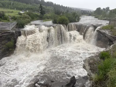
The record-setting heat occurred on Tuesday, January 13, 2026, marking another notable entry in B.C.'s recent history of volatile weather patterns. This warm surge arrived directly on the heels of a powerful atmospheric river—a long, narrow corridor of concentrated moisture—that had previously drenched the coast and interior regions with substantial rainfall.
Communities across the province reported temperatures significantly higher than seasonal norms, officially surpassing the previous daily maximums that had stood for years. While the original Canadian Press report did not list specific locations and numerical records, the widespread nature of the event indicates multiple weather stations logged new highs. This pattern of back-to-back extremes, from intense precipitation to abnormal warmth, highlights the increasing volatility in regional climate systems.

The Meteorological Context of the Shift
Atmospheric rivers are notorious for transporting massive amounts of water vapor, often leading to heavy rain and snow. However, the transition following this particular event was characterized by a rapid change in air mass. A ridge of high pressure likely built behind the departing moisture plume, funneling warmer air from the south or southwest into the province.
This sequence—an atmospheric river followed by record warmth—is a striking example of the "weather whiplash" phenomenon becoming more frequently discussed by climatologists. It underscores how interconnected and rapidly changing weather systems can produce consecutive, yet starkly different, extremes within a short timeframe.
Implications and Broader Climate Trends
While the broken records from January 13, 2026, represent a single weather event, they fit into a broader pattern observed across Canada and globally. The year 2025 was noted as the third warmest on record worldwide, a trend that continues to influence regional weather, including in British Columbia. These repeated temperature anomalies stress ecosystems, impact snowpack crucial for water resources, and can alter seasonal patterns for agriculture and wildlife.
The event serves as a real-time data point in the ongoing study of climate change's influence on regional weather intensity and frequency. Scientists consistently monitor such occurrences to improve models predicting future atmospheric river behavior and associated temperature fluctuations.
Residents and officials in B.C. are reminded to stay informed through Environment and Climate Change Canada for the latest forecasts and warnings, as the province remains susceptible to rapid transitions between extreme weather events.