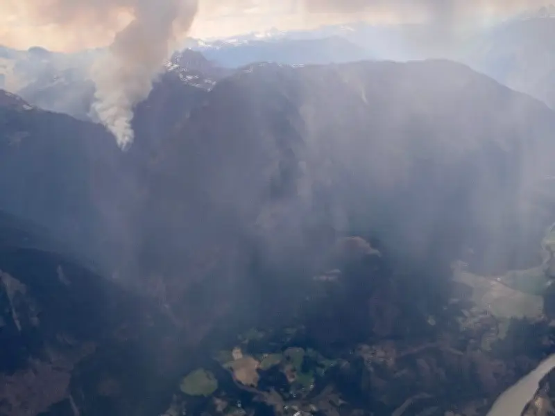
Firefighters in British Columbia are battling 13 new out-of-control wildfires that broke out on Wednesday, as hot and dry conditions combined with lightning strikes in some areas. The B.C. Wildfire Service reported that two of the new fires are located south of Lillooet, including the Riley Creek wildfire, approximately 25 kilometres south of the community. The Riley Creek fire is mapped at about 0.5 square kilometres and is considered out of control. The other fire is smaller and situated southwest of Lillooet. Both are believed to have been ignited by lightning.
Fire Locations and Zones
Of the 13 rapidly spreading fires, seven are in the Cariboo fire zone, three are in the Kamloops fire zone, two are in the Prince George fire zone, and one is in the coastal fire region. Most of these fires are under one hectare in size, but an out-of-control designation means they are expected to spread. The coastal zone fire is located on Vancouver Island, south of Campbell River near the Beaver Lodge Forest Lands.
Regional Context and Recent Fires
Lillooet is situated just over 60 kilometres northwest of Lytton, where the Saw Creek wildfire forced evacuations and a highway closure on Friday, June 20. That fire is now considered under control as of Tuesday. Overall, there are 33 wildfires burning across British Columbia, including 17 that ignited between Tuesday and Wednesday, according to the B.C. Wildfire Service.

Weather Challenges Ahead
Fire officials warn that efforts to suppress the fires could be hampered by severe storms and lightning expected later Wednesday, along with wind gusts of up to 80 kilometres per hour in all fire regions of the province. The combination of dry conditions and strong winds poses a significant challenge for crews working to contain the blazes.