Ontario Residents Breathed Arctic Air This Weekend as Frigid System Swept South
Residents across Ontario experienced a remarkable meteorological event this past weekend as they literally inhaled air that originated at the top of the world. According to detailed analysis from the Weather Network, a mass of bitterly cold Arctic air descended over the province, creating unique conditions that persisted through Monday before beginning to moderate.
Tracking the Journey of Polar Air
The Weather Network explained this phenomenon using vivid imagery: "If you've stepped outside and taken a deep breath of that bitingly cold air, you've breathed in air that was recently at the top of the world." Forecast models clearly showed this frigid air originating from the North Pole before making its journey southward over Ontario.
Meteorologists tracked this air mass using sophisticated modeling technology developed by the National Oceanic and Atmospheric Administration (NOAA). Originally designed to monitor air pollution trajectories, this system functions much like a flight tracking application, following air parcels as they drift through the atmosphere. "Picture a parcel of air drifting in the wind like a balloon," the network elaborated. "The model traced the path that air took from its point of origin several days ago."
Record-Breaking Cold Temperatures Documented
This Arctic intrusion brought significant temperature drops across the province. Toronto experienced its coldest daytime reading since January 2019, with Saturday's high reaching only -13.3°C. As of February 8th, this marked the 22nd consecutive day of this persistent cold stretch affecting Ontario.
Environment Canada issued yellow alerts for parts of Southern Ontario on Monday morning, warning of potentially hazardous conditions with wind chills plummeting to -35°C. These alerts indicate weather that may cause damage, disruption, or health impacts, though they were lifted by mid-morning as conditions began to improve.
Context Within a Historic Winter Season
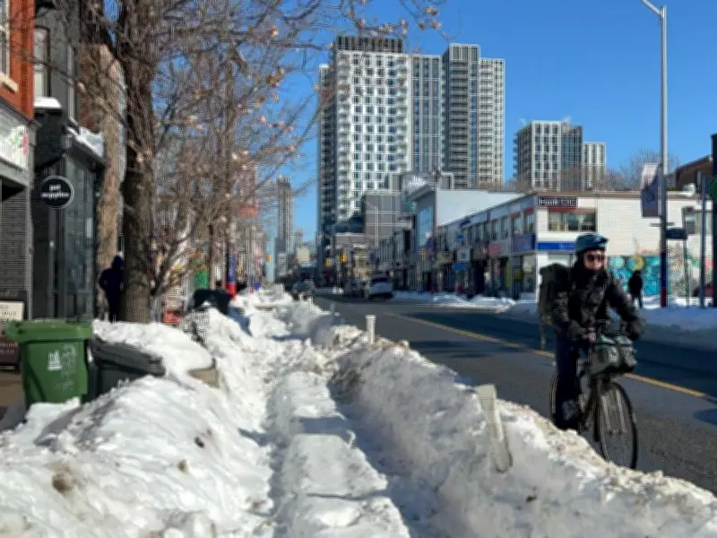
This Arctic blast occurred within what has become a record-breaking winter for Toronto residents. At January's end, the downtown core received nearly 60 centimetres of snow that accumulated over vehicles and blanketed streets completely. Whiteout conditions complicated road travel, with winds gusting up to 50 kilometres per hour during the storm's peak intensity.
The prolonged cold period finally showed signs of breaking on Tuesday, with temperatures in parts of Ontario, including Toronto, expected to climb above freezing. However, this warming trend comes with its own precipitation challenges, as the Weather Network forecast "a burst of snow" accompanying the temperature shift.
Regional Impacts and Broader National Context
Eastern Ontario regions, including Ottawa, could receive 10 to 15 centimetres of snow by Wednesday according to meteorological predictions. Meanwhile, other parts of Canada continue to face winter weather challenges, with Environment Canada maintaining yellow alerts in several regions.
Newfoundland and Labrador remain under snowfall warnings, while sections of the Northwest Territories, Nunavut, and Yukon face ongoing cold warnings. This widespread pattern underscores the significant atmospheric dynamics affecting multiple regions across the country during this winter season.
The unique convergence of Arctic air with Ontario's weather systems created memorable conditions for residents, who experienced firsthand the journey of polar air masses from their northern origins to southern destinations. As temperatures gradually moderate, meteorologists continue monitoring atmospheric patterns that could influence future weather developments across the province and beyond.


