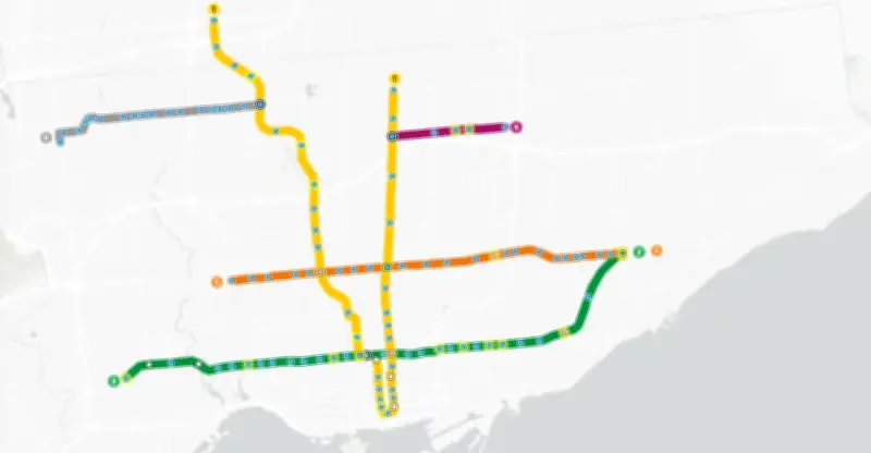
The Toronto Transit Commission (TTC) has launched a new Live Map pilot program, allowing commuters to access real-time service updates for subway and light rail transit (LRT) lines. The initiative aims to enhance the travel experience by providing up-to-the-minute information on service alerts, delays, and disruptions directly through an interactive map interface.
How the Live Map Works
The Live Map is accessible via the TTC's website and mobile app, displaying current conditions across the network. Users can view service status for each line, including scheduled maintenance, unexpected delays, or closures. The map updates automatically, ensuring riders have the latest information before and during their journey.
Benefits for Commuters
The pilot program is designed to reduce uncertainty and improve trip planning. By offering real-time data, the TTC hopes to minimize wait times and help passengers make informed decisions about alternative routes or modes of transport. Early feedback from users has been positive, with many appreciating the transparency and ease of use.

Future Expansion
If successful, the TTC plans to expand the Live Map to include bus and streetcar services, creating a comprehensive real-time tracking system for the entire transit network. The pilot is part of broader efforts to modernize the TTC's digital infrastructure and enhance customer service.