
Winter Storm System Targets Greater Toronto Area During Peak Travel Time
A messy and disruptive winter weather event is poised to strike the Greater Toronto Area precisely during the critical Friday morning rush hour. Environment Canada has issued a special weather statement, warning residents of a significant system approaching that will bring a combination of precipitation types, creating hazardous travel conditions across the region.
Timing and Expected Impacts on the Morning Commute
The core of the weather system is forecast to move into the GTA during the early morning hours on Friday, March 13, 2026, with the most intense conditions expected between 6:00 AM and 10:00 AM EDT. This timing coincides directly with the peak of the morning commute, threatening to snarl traffic on major highways like the 401, 404, and QEW. Meteorologists predict the precipitation will begin as snow, potentially accumulating several centimeters, before transitioning to rain as temperatures rise slightly later in the morning.
This rapid change from snow to rain will create particularly slippery and unpredictable road surfaces, increasing the risk of accidents and significant delays. Commuters are strongly advised to allow for extra travel time, consider alternative transportation options, or work from home if possible. Public transit systems, including the TTC and GO Transit, may also experience schedule adjustments due to the conditions.

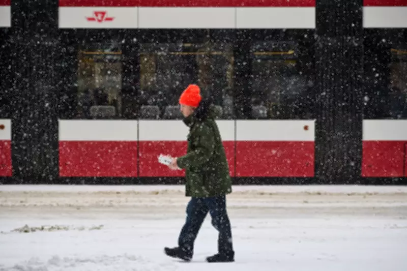
Precipitation Mix and Regional Variations
The exact impact will vary across the sprawling GTA. Areas north and west of Toronto, including Brampton, Vaughan, and Richmond Hill, are likely to see more sustained snowfall and higher accumulations. In contrast, regions closer to the Lake Ontario shoreline, such as downtown Toronto and Mississauga, may experience a quicker transition to rain, but will still contend with initial snow and slush.
"It's a classic late-winter system for Southern Ontario," explained a meteorologist with Environment Canada. "The key hazard is the timing. Having this unfold during the busiest travel window of the day significantly amplifies the risk of disruptions. We're urging everyone to plan ahead and exercise caution."In addition to road troubles, the wet snow and rain could lead to:
- Reduced visibility for drivers and pedestrians.
- Potential for localized pooling of water on roads as snow melts.
- Icy conditions on untreated sidewalks and secondary roads.
Context and Preparedness Advice
This weather event follows a winter season that has already seen significant storms, including a major snow event on Boxing Day 2025. Municipalities across the GTA have indicated that salt trucks and plows are on standby and will be deployed as needed. However, officials warn that even with crews working, travel during the height of the storm will be challenging.
Residents should prepare for the possibility of school bus cancellations or delays, and are encouraged to check local school board websites for updates. The weather statement serves as an early alert, and it may be upgraded to a winter weather travel advisory or warning as the system draws nearer.
Beyond the immediate commute, the system is expected to move out of the region by the afternoon, with conditions improving for the evening. However, the messy morning serves as a potent reminder that winter still holds sway in mid-March, capable of delivering impactful weather with little notice.


