Arctic Intrusion or Polar Vortex? Decoding Toronto's Lingering Deep Freeze
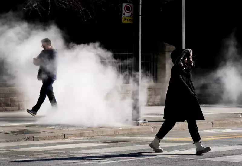
As a yellow alert snowfall warning blankets parts of the Greater Toronto Area, residents are grappling with a persistent and bitter cold snap. Meteorologists are clarifying the atmospheric drivers behind this extended period of frigid conditions, distinguishing between a direct Arctic air mass intrusion and the broader influence of the polar vortex.
The Meteorological Mechanisms at Play
An Arctic intrusion typically refers to a direct surge of cold air moving southward from the polar regions, often facilitated by specific weather patterns like the Alberta Clipper currently affecting Ontario. This system is known for bringing quick bursts of snow and sharp temperature drops. In contrast, the polar vortex is a large area of low pressure and cold air that normally circulates around the North Pole. When it weakens or becomes disrupted, it can send fragments of exceptionally cold air spiraling southward into regions like Southern Ontario, leading to prolonged periods of severe cold.
The current situation in Toronto appears to involve elements of both phenomena. A direct Arctic air mass is delivering the immediate snowfall and chill, while a destabilized polar vortex pattern is contributing to the forecast that this cold weather is here to stay for the foreseeable future. This combination creates a challenging environment for infrastructure, transportation, and public health.

Impacts and Advisories Across the GTA
The snowfall warning underscores the immediate hazards. Residents are advised to prepare for:
- Reduced visibility during snow squalls.
- Quick accumulations on roads and sidewalks, creating slippery conditions.
- Potential for school closures or transportation delays.
Beyond the snow, the entrenched cold poses significant risks, especially for vulnerable populations. Prolonged exposure can lead to frostbite and hypothermia, while the strain on heating systems and energy grids increases. City services are on high alert to manage road maintenance and respond to weather-related emergencies.
Broader Context and Climate Considerations
While this event is a severe cold snap, it occurs within the complex narrative of a warming planet. Scientists note that climate change can contribute to more frequent disruptions of the polar vortex, potentially leading to more extreme winter weather events in mid-latitude regions like Ontario, even as overall global temperatures rise. This paradoxical effect means that understanding the difference between an Arctic intrusion and polar vortex dynamics becomes increasingly important for accurate forecasting and public preparedness.
For Toronto, the immediate forecast calls for vigilance. The combination of active snowfall and deeply entrenched cold air suggests that these frigid conditions will not be a brief inconvenience but a sustained weather pattern requiring continued adaptation and caution from all residents across the Greater Toronto Area.