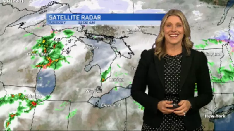
Stormy Conditions Continue Across Southern Ontario as Cooler Air Arrives
Southern Ontario is experiencing persistent stormy conditions as a significant influx of cooler air moves into the region. The unsettled weather pattern has brought a mix of precipitation and gusty winds, affecting various communities across the area.
Weather Patterns and Forecast
Meteorologists report that the arrival of cooler air masses is creating atmospheric instability, leading to continued storm activity. Residents should expect periods of heavy rain, potential thunderstorms, and fluctuating temperatures throughout the coming days. The cooler air is expected to maintain these conditions, with weather systems moving across the region at regular intervals.
Regional Impacts and Precautions
The stormy conditions are affecting transportation, outdoor activities, and daily routines across southern Ontario. Local authorities advise residents to stay updated with the latest weather forecasts and exercise caution when traveling. Power outages may occur in areas experiencing severe weather, so preparedness measures are recommended.

- Cooler air masses creating atmospheric instability
- Periods of heavy precipitation and potential thunderstorms
- Gusty winds accompanying storm systems
- Fluctuating temperatures throughout the region
Longer-Term Outlook
Weather experts indicate that these conditions may persist for several days as the cooler air continues to influence regional weather patterns. While some breaks in precipitation are expected, the overall pattern remains unsettled. Residents should monitor local weather updates for specific timing of storm events in their areas.
The combination of cooler air and existing moisture in the atmosphere is creating ideal conditions for continued storm development across southern Ontario. This weather pattern represents a typical transitional period as seasons change, though the intensity and duration of the current conditions are noteworthy for this time of year.