Arctic Air Mass Sweeps Through Eastern Canada
A significant polar air system is making its way eastward, bringing distinctly cold conditions to Canada's Maritime provinces as November progresses. This Arctic air mass represents the first major cold snap of the season, with temperatures dropping well below seasonal averages across the region.
Weather Patterns and Regional Impacts
The meteorological shift comes as Arctic air displaces milder systems that had previously dominated the region's weather patterns. Meteorologists note that this transition marks a typical seasonal progression, though the intensity of the cold front is noteworthy for early November. The system is expected to maintain its grip on the Maritimes for several days, with overnight temperatures potentially reaching freezing levels in many areas.
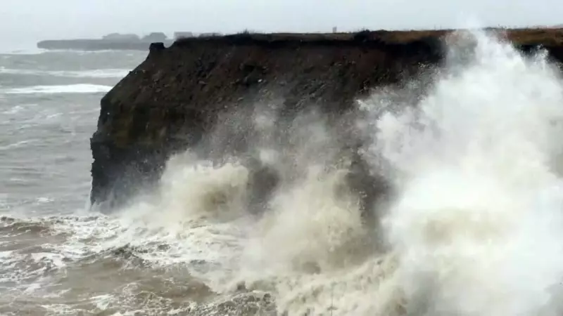
Coastal regions, including Nova Scotia, may experience enhanced effects due to the combination of cold air and ocean moisture. Historical weather data shows similar patterns in late November, such as the significant wave activity recorded off Nova Scotia's coast in late November 2019, demonstrating how marine conditions can intensify during such weather transitions.
Broader Weather Context Across Canada
While the Maritimes brace for colder conditions, other regions across Canada are experiencing varied weather phenomena. Quebec has already faced heavy snowfall causing power outages and school closures, while Ontario residents are dealing with road safety concerns following recent snow accumulation. These patterns illustrate the diverse weather challenges Canadians face as winter approaches.
The movement of this polar air mass follows typical continental weather patterns, where cold Arctic systems gradually expand southward and eastward during the autumn months. Environment Canada continues to monitor the situation and provides regular updates to help residents prepare for the changing conditions.


