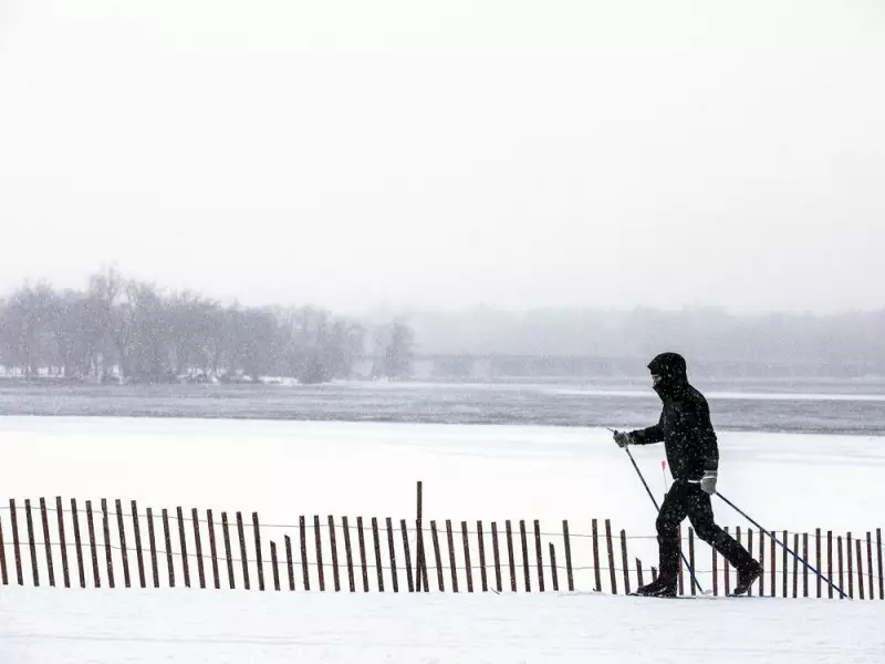
Ottawa Braces for Arctic Deep Freeze: Extreme Cold and Wind Chill Warnings Issued
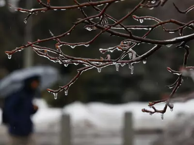
The City of Ottawa is urging residents to take immediate precautions as a severe Arctic air mass descends upon the capital region, bringing with it dangerously cold temperatures and biting winds. Environment Canada has issued a yellow warning, highlighting significant risks of frostbite and hypothermia for those venturing outdoors unprepared.
Frigid Forecast Details
According to Environment Canada's weather board, the seasonal deep freeze is set to intensify starting Friday. While the morning may begin with temperatures in the mid-teens, a dramatic plunge is expected by mid-afternoon, with readings forecast to tumble to a bone-chilling -21°C. The situation worsens overnight, with temperatures potentially dropping as low as -27°C. When combined with strong winds, the wind chill could make it feel like -35°C to -40°C, creating hazardous conditions for exposed skin.
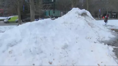
The cold snap is projected to persist for approximately five days, with Saturday expected to be sunny but windy, featuring a high of only -18°C. The wind chill on Saturday morning could make it feel like -38°C, moderating slightly to -28°C in the afternoon. Overnight lows may reach -29°C.

Official Safety Advisories
In response to the forecast, the City of Ottawa has issued a stern warning to the public. Officials are advising residents to dress warmly in multiple layers and ensure all exposed skin is covered before stepping outside. The city emphasizes the importance of seeking shelter indoors from the extreme cold to prevent cold-related injuries.
"Dress warmly, in layers, covering any exposed skin before going outside and seek shelter indoors from the cold," the city cautioned in its official statement. Residents are also encouraged to consult the Ottawa Public Health "cold weather" page for comprehensive safety guidelines, including cold weather do's and don'ts and an interactive map locating warm-up sites throughout the city.
Extended Weather Outlook
The challenging conditions are expected to continue through the weekend and into next week:
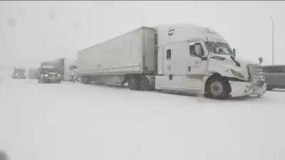
- Sunday: Cloudy skies in the morning with periods of snow anticipated Sunday night. Highs around -18°C and lows near -20°C.
- Monday: More snow in the forecast with a high of -11°C and a low of -21°C.
- Tuesday: A mix of sun and cloud with a 40-percent chance of flurries. Highs expected around -10°C and lows near -20°C.
Environment Canada's warning specifically notes that the risk of frostbite is particularly high on Friday afternoon and evening due to the "bitterly cold" temperatures combined with wind chill factors. The weather office advises extreme caution for all outdoor activities during this period.
As Ottawa prepares for this extended cold spell, residents are reminded to check on vulnerable neighbors, ensure proper home heating, and limit time outdoors during peak cold hours. The combination of Arctic air and strong winds creates a potentially dangerous situation that requires careful preparation and adherence to safety recommendations from both municipal authorities and federal weather experts.