
A potent winter storm system is taking aim at Canada's Maritime provinces, promising a significant dose of snow and rain to kick off the first week of December. Residents are advised to prepare for hazardous travel conditions and potential disruptions as the system moves through the region.
Timing and Expected Precipitation
According to CTV Chief Meteorologist Kalin Mitchell, the active weather is expected to begin impacting the region on Tuesday, December 2, 2025. The initial phase will feature light snow coupled with strong north winds, creating areas of blowing snow and reduced visibility.
The main event, however, is forecast to arrive later in the week. The low-pressure system will deliver a mix of heavy snow, rain, and strong winds across Nova Scotia, New Brunswick, and Prince Edward Island. Precipitation types will vary depending on proximity to the coast and elevation, with inland areas likely to see the highest snow accumulations.

Projected Snowfall Amounts and Impacts
Current models suggest a wide range of snowfall totals. Some inland and northern sections of Nova Scotia and New Brunswick could see up to 30 centimetres of snow by the time the system departs. Coastal areas, including Halifax, may experience a period of heavy snow that transitions to rain, limiting final accumulations but creating slushy and difficult conditions.
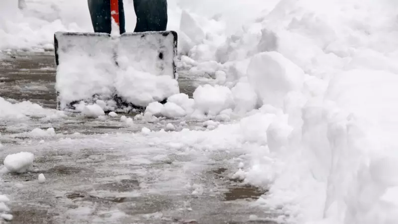
The combination of heavy precipitation and gusty winds raises the risk of power outages, as snow-laden trees and branches could fall on lines. Travel is strongly discouraged during the height of the storm, particularly on secondary roads and highways that may become snow-covered and slippery.
Regional Context and Preparedness
This storm serves as a reminder that the winter season has firmly arrived in Atlantic Canada. Residents are encouraged to take standard precautions: ensure emergency kits are stocked, check on vulnerable neighbours, and consider postponing non-essential travel during the worst of the weather.
Local authorities and utility companies are likely monitoring the forecast closely and preparing response teams. The public should stay updated on the latest warnings and forecasts from Environment Canada and trusted meteorologists like Kalin Mitchell, as the track and intensity of the system could still shift.
Following this system, colder air is expected to sweep back into the region, which could lead to flash freezing on any wet surfaces. Caution will be required even after the precipitation ends.


