Lessons from Past Super El Niños for the Coming Event
As scientists monitor the development of a potential Super El Niño, historical data from previous events offers crucial insights into what may lie ahead. The phenomenon, characterized by unusually warm sea surface temperatures in the central and eastern Pacific Ocean, can disrupt weather patterns worldwide, leading to floods, droughts, and other extreme conditions.
Historical Patterns and Impacts
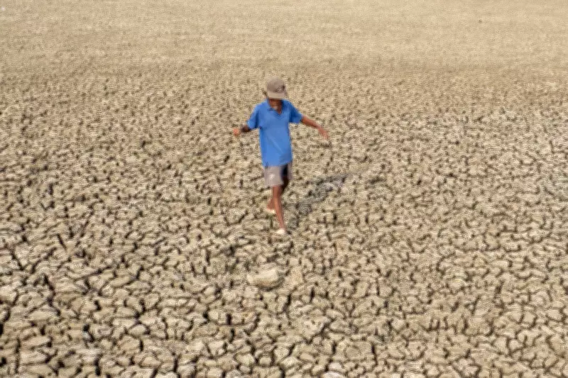
The most intense Super El Niños on record—such as those in 1982-83, 1997-98, and 2015-16—have caused widespread disruptions. For instance, the 1997-98 event led to severe flooding in California and Peru, while triggering droughts in Indonesia and Australia. These events also influenced global temperatures, often making them among the hottest years on record.
Researchers emphasize that each Super El Niño has unique characteristics. The 2015-16 event, for example, was particularly strong but did not produce the same level of rainfall in some regions as earlier occurrences. This variability underscores the need for improved forecasting models.

Current Predictions and Preparedness
Meteorologists are closely watching oceanic and atmospheric indicators. The current conditions suggest a high likelihood of a strong El Niño developing by late 2026. Governments and disaster management agencies are already updating contingency plans, especially for agriculture, water resources, and public health.
Climate change adds another layer of complexity. Warmer baseline temperatures may amplify the effects of a Super El Niño, potentially leading to more intense heatwaves and altered precipitation patterns. Scientists stress that while we cannot prevent El Niño, better preparedness can mitigate its worst impacts.
Ultimately, the key takeaway from past Super El Niños is the importance of early warning systems and adaptive strategies. By learning from history, societies can reduce vulnerability and enhance resilience against these powerful climate events.