Flooding Intensifies in Gatineau While Carp River Stabilizes, Ottawa and Rideau Rivers Remain on High Alert
Recent downpours and melting snow have escalated flood risks across the National Capital Region, with Gatineau experiencing severe flooding in low-lying areas. Residents in districts along the Ottawa River are particularly vulnerable as warmer weather accelerates snowmelt and combines with steady rainfall.
Gatineau Residents Face Knee-Deep Waters
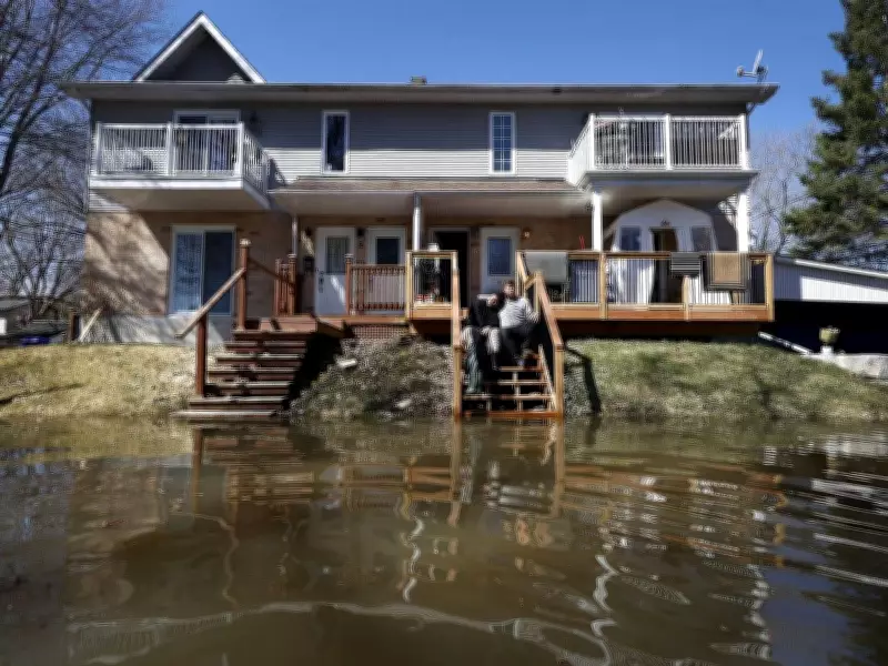
In Gatineau, some neighborhoods are now grappling with knee-deep waters on residential roads as river waters overflow onto sidewalks. Approximately 41 roads are affected by water, and 164 buildings are at risk of flooding, according to city officials. Mayor Maude Marquis-Bissonnette issued a statement on Sunday, April 19, urging residents to take all necessary precautions.
"Water levels may start stabilizing on Tuesday, but are expected to remain high for several days," the city noted in an online update. This has left families, such as Natalie and Jacob Cleroux on Rue Ernest-Charron, worried about accessing their homes and ensuring safety for daily activities like daycare drop-offs.

Ottawa River Communities at Elevated Risk
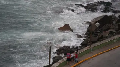
Communities along the Ottawa River, including Fitzroy Harbour, Dunrobin Shores, and Constance Bay, are under close watch. According to West Carleton Disaster Relief, water levels on April 20 stood at 60 metres above sea level, which is 23 centimetres higher than the same time last year but 35 centimetres below the peak of the 2023 flood.
"This is a significant event, but not yet the worst we have seen," the organization stated. The Ottawa River Regulation Planning Board reported that water levels remain above normal in multiple areas, such as Gatineau (Hull), Lake Deschenes at Britannia, and Pembroke. They project that levels will plateau over the next few days, rising only a few additional centimetres.
Mixed Conditions Across the Region
While Gatineau struggles, some areas are seeing improvements. The Carp River conditions have returned to normal, as reported by the Mississippi Valley Conservation Authority on April 20. However, the Rideau Valley Conservation Authority has maintained a flood watch for the Rideau River and Lower Ottawa River from Arnprior to Hawkesbury since April 8 and April 17, respectively.
The South Nation River has been under a water safety statement since April 14, effective until 5 p.m. on April 22 or until further notice. Looking ahead, Environment Canada forecasts a 40 percent chance of showers or flurries in Ottawa on Tuesday, with a break from rain expected until Saturday, when another 40 percent chance of showers is predicted.
Preparations and Response Efforts
Both Ottawa and Gatineau have established multiple sandbag stations, or "depots," where residents can fill sandbags to protect their properties. West Carleton Disaster Relief is encouraging proactive measures, such as sandbagging and wall construction, to mitigate potential damage.
The Ottawa River Regulation Planning Board's press release from April 13 warned that water levels and flows along the main stem of the Ottawa River are expected to increase and may exceed flood levels in some prone areas, depending on weather conditions. Major flood levels from Lake Coulonge to Carillon had been exceeded or were anticipated to be exceeded on Monday or Tuesday.
As the situation evolves, authorities continue to monitor closely, emphasizing the importance of community preparedness and adherence to safety advisories in the face of ongoing spring flood risks.