Metro Vancouver's Construction Boom: Unpacking the Traffic Congestion Crisis
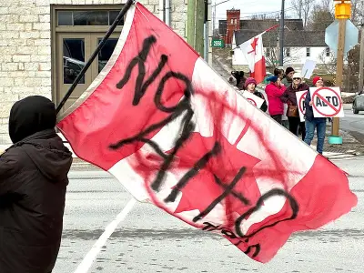
Residents across Metro Vancouver have been grappling with an unprecedented surge in road construction projects that have transformed daily commutes into frustrating exercises in patience. From Broadway to bridges, streets throughout the region have become obstacle courses of orange cones and detour signs, creating what many describe as the worst traffic conditions in recent memory.
The Construction Landscape Across the Region
Everywhere you travel in Metro Vancouver these days, road construction appears omnipresent. Major arteries have been partially or completely shut down for a variety of infrastructure projects that span both public and private initiatives. The construction activity includes multiple significant undertakings that collectively contribute to the region's traffic woes.
Key projects disrupting traffic flow include:

- New SkyTrain line construction that requires extensive street closures and lane diversions
- Bridge construction and repair projects affecting major crossing points
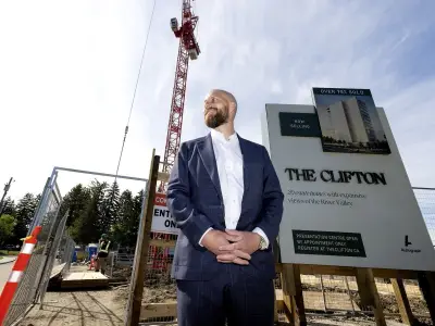
- Highrise development projects that necessitate lane closures for construction access
- Sewer and water system upgrades requiring street excavation
- Conversion of temporary pedestrian plazas into permanent installations
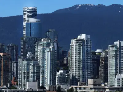
The Congestion Reality: Vancouver's North American Ranking
This construction surge has had measurable consequences for regional mobility. According to the 2025 TomTom traffic index, which analyzes congestion levels, travel times, and speeds based on worldwide trip data, Vancouver earned the dubious distinction of ranking as the fourth most congested city in North America. This placement represents a significant deterioration in traffic conditions that directly correlates with the current construction intensity.
The Broadway corridor between Kingsway and Main Street exemplifies the challenges, where lanes are currently restricted to bus traffic only, creating bottlenecks that ripple throughout the transportation network. Similar scenarios play out across multiple municipalities within Metro Vancouver, though comprehensive regional data remains elusive.
Tracking the Construction: Data Challenges and Municipal Responses
Determining whether current construction levels exceed historical norms proves surprisingly difficult. Metro Vancouver does not maintain a centralized list of all road construction projects across the Lower Mainland region, making comprehensive analysis challenging without consulting each of the 21 individual cities and municipalities.
When questioned about whether construction activity has increased beyond typical levels, the City of Vancouver provided a nuanced response. "Given that the scale, complexity, location and duration of projects can vary significantly, it isn't possible to make an accurate comparison with how current construction activity levels compare to previous years," stated city officials.
The complexity stems from multiple factors:
- Multiple stakeholders including city-led projects, provincial government initiatives, Metro Vancouver regional projects, and private development
- Varying project durations and scales that defy simple year-over-year comparison
- Different funding sources and approval processes across jurisdictions
The Financial Dimension: Billions Allocated to Infrastructure
The financial commitment to these infrastructure projects reveals their substantial scale. Vancouver's 2026 operating budget allocates a remarkable 30 percent—$714 million—to the engineering department, exceeding even police department funding by eight percentage points. This represents the largest departmental allocation within the city's $2.393 billion operating budget.
Beyond operating expenses, the capital budget for multi-year projects adds another $894 million in 2026 alone. According to city statements, approximately 40 percent of the engineering capital budget ($190 million) specifically targets streets infrastructure, with additional funding for ongoing repair and maintenance included in the operating budget.

The city clarified: "Street infrastructure is funded through both the operating budget (for ongoing operations, repairs and maintenance) and the capital budget (for renewal and new infrastructure)."
Navigating the Construction Maze: Public Resources
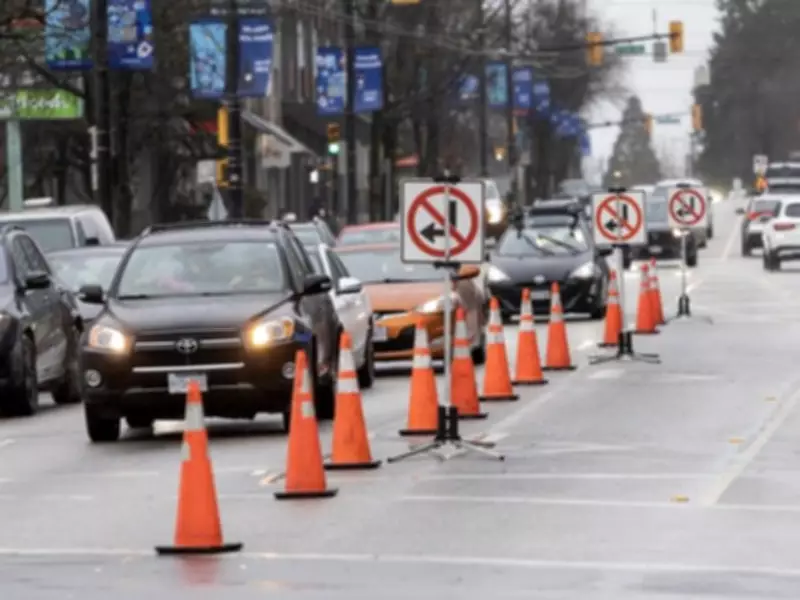
For residents attempting to navigate this construction landscape, Vancouver provides an online road closure map that offers real-time information about disruptions. The interactive tool uses color coding to indicate closure severity, with full road closures marked in red and partial lane closures shown in orange. Currently, approximately half of the downtown peninsula appears in orange on this map, visually representing the extensive nature of current construction activity.
While these projects promise long-term benefits including improved transit options, upgraded utilities, and enhanced urban infrastructure, the short-term reality for Metro Vancouver commuters involves continued patience and adaptation to ever-changing traffic patterns as the region undergoes this significant transformation.