Outdoor enthusiasts, conservationists, and seasoned paddlers across Manitoba are raising the alarm over the provincial government's decision to shutter its long-standing map store. The move, set for the near future, will eliminate a primary and trusted source for detailed topographic maps, navigational charts, and other critical resources for wilderness travel.
A Vital Resource for Safe Exploration
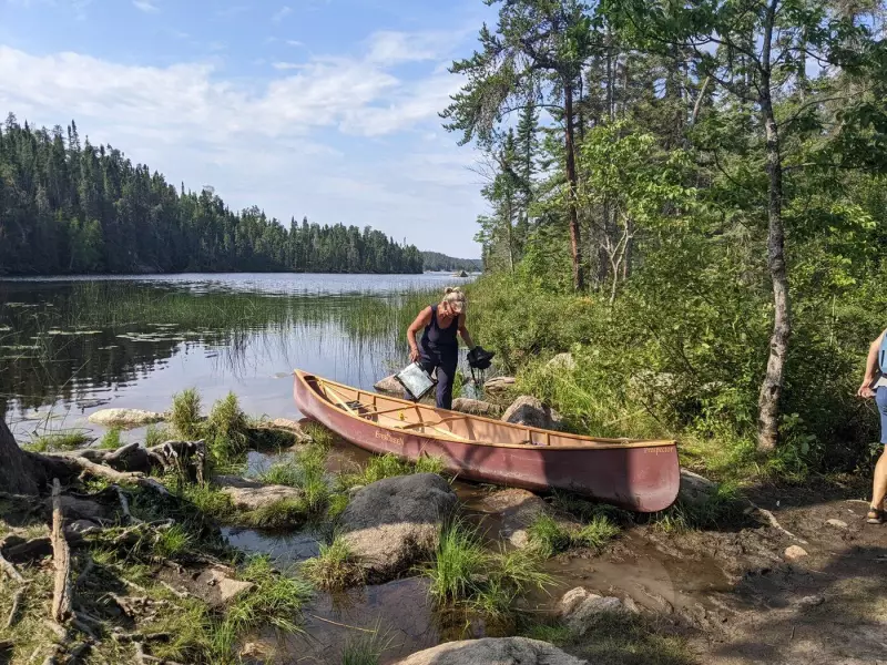
For decades, the Manitoba government map store has served as an essential hub for anyone venturing into the province's vast network of lakes, rivers, and remote terrain. Margerit Roger, an avid canoeist pictured with her canoe on a lake near Kenora, Ont., in August 2022, represents the countless individuals who rely on these physical and digital cartographic products. Paddlers, hikers, hunters, and researchers use the store's offerings to plan routes, identify portages, and ensure their safety in areas often devoid of cellular service.
The store provides access to specialized maps that are difficult to find elsewhere, including updated hydrographic charts and detailed topographic sheets. Its closure signals a significant shift in how the public accesses this government data, with concerns that a purely digital distribution model may not serve all users, particularly older adventurers or those traveling in connectivity dead zones.

Community Reaction and Broader Implications
The announcement has been met with disappointment and concern from the outdoor community. Many bemoan the loss of in-person expertise, where staff could offer advice on the best maps for specific trips. This move is seen as part of a broader trend of reducing physical public service points, which can disproportionately affect rural residents and those engaged in traditional land-based activities.
Advocates argue that reliable, accessible mapping is not a convenience but a fundamental component of public safety and environmental stewardship. Easy access to accurate maps encourages responsible exploration and can be crucial in emergency situations. The closure raises questions about the government's commitment to supporting recreational access and safe use of Crown lands and waterways.
Looking for a Navigational Solution
As the closure date approaches, user groups are calling for clarity on what will replace the service. Key demands include ensuring that a robust, user-friendly digital portal is in place and that provisions are made for printing high-quality physical maps for those who need them. The situation highlights the ongoing tension between digital transformation and the practical needs of citizens in a province defined by its expansive and sometimes unforgiving natural landscape.
The impending loss of the Manitoba government map store marks the end of an era for many explorers. Its fate underscores a larger conversation about how public resources are delivered and the importance of preserving access to tangible tools that connect people safely to the wilderness.