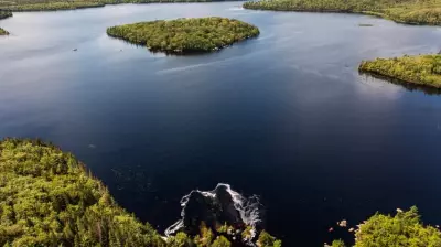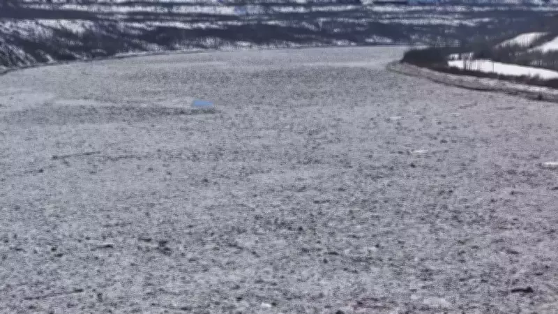
Water levels in Fort McMurray saw minimal changes overnight, providing a brief respite for residents monitoring the Athabasca River during the spring thaw. Drone footage captured on April 28, 2026, by Sean McClune of CTV News Edmonton shows the river's conditions, which have been a focal point of concern as warmer temperatures accelerate snowmelt.
The Athabasca River, which runs through the heart of Fort McMurray, has been closely watched by local authorities and emergency services. The minimal change overnight suggests that the river is not currently posing an immediate threat of flooding, but officials remain vigilant as the spring melt continues. The river's water levels are influenced by a combination of snowpack depth, temperature fluctuations, and precipitation patterns.
Residents are advised to stay informed through local news and official updates from the Regional Municipality of Wood Buffalo. The drone footage provides a clear aerial view of the river's flow and ice conditions, which are critical for predicting potential flood risks. As the region moves deeper into spring, the potential for rapid changes in water levels remains, especially if heavy rainfall or a sudden warm spell occurs.

Local emergency management teams have pre-positioned sandbags and other flood mitigation resources in vulnerable areas. The situation is being monitored around the clock, with updates provided as conditions evolve. For now, the 'minimal changes' offer a moment of calm, but the community remains on alert for any signs of rising water.