
A substantial rainfall warning has been officially issued for the city of Toronto and surrounding areas within the Greater Toronto Area (GTA), with meteorologists forecasting the potential for up to 40 millimeters of precipitation. This weather alert, updated on March 10, 2026, highlights concerns over localized flooding and hazardous travel conditions as the system moves through the region.
Meteorological Update and Forecast Details
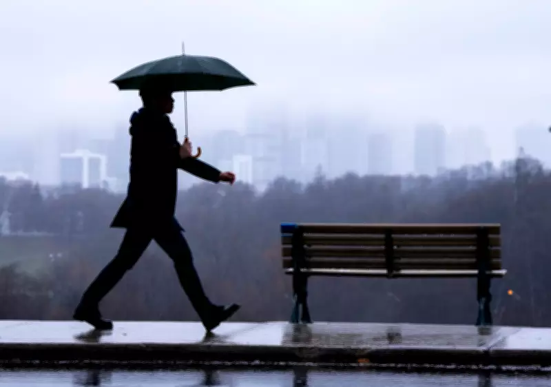
CP24's chief meteorologist, Bill Coulter, provided a detailed update on the evolving weather situation. The rainfall is expected to intensify throughout the day, with the heaviest downpours anticipated during the afternoon and evening hours. Residents are urged to monitor local forecasts closely, as rainfall rates could exceed 5 mm per hour in some localized areas, significantly increasing the risk of flash flooding.
"This is not a typical spring shower," Coulter emphasized during his broadcast. "We are looking at a prolonged period of moderate to heavy rain, driven by a low-pressure system moving in from the southwest. The ground, still partially saturated from recent snowmelt, has a reduced capacity to absorb this volume of water quickly."

Potential Impacts and Safety Advisory
The primary concerns associated with this weather event include:
- Urban and small stream flooding in low-lying areas and neighborhoods with inadequate drainage.
- Reduced visibility and slippery road conditions, leading to hazardous commuting and an increased risk of traffic accidents.
- Potential for basement flooding in homes with poor waterproofing or sump pump failures.
- Possible disruption to public transit services, particularly on surface routes.
City officials and emergency services are on standby. The public is advised to clear storm drains of debris near their properties, avoid unnecessary travel during peak rainfall, and never attempt to drive through flooded roadways. Just 15 centimeters of moving water can sweep a vehicle away.
Broader Regional Weather Context
This Toronto-specific warning occurs amidst other significant weather advisories across Canada. Environment Canada has also issued severe freezing rain advisories for parts of Ontario, Quebec, and Atlantic Canada. Meanwhile, in British Columbia, snow is expected across southwestern regions from the Lower Mainland to Vancouver Island. These concurrent events underscore a pattern of volatile early-spring weather affecting multiple provinces.
Experts note that such intense rainfall events may be influenced by broader climatic patterns. "While individual storms are not directly attributable to climate change, we are observing a trend toward more frequent and intense precipitation events in many regions," stated a climate scientist from a leading Canadian university, commenting on the increased flood risks noted in recent seasonal outlooks.
Residents should prepare for the possibility of power outages and have emergency kits ready. The rainfall is expected to taper off by late evening, but runoff and lingering water accumulation may cause issues into the following day. Stay tuned to official weather channels for the latest updates and warnings.


