
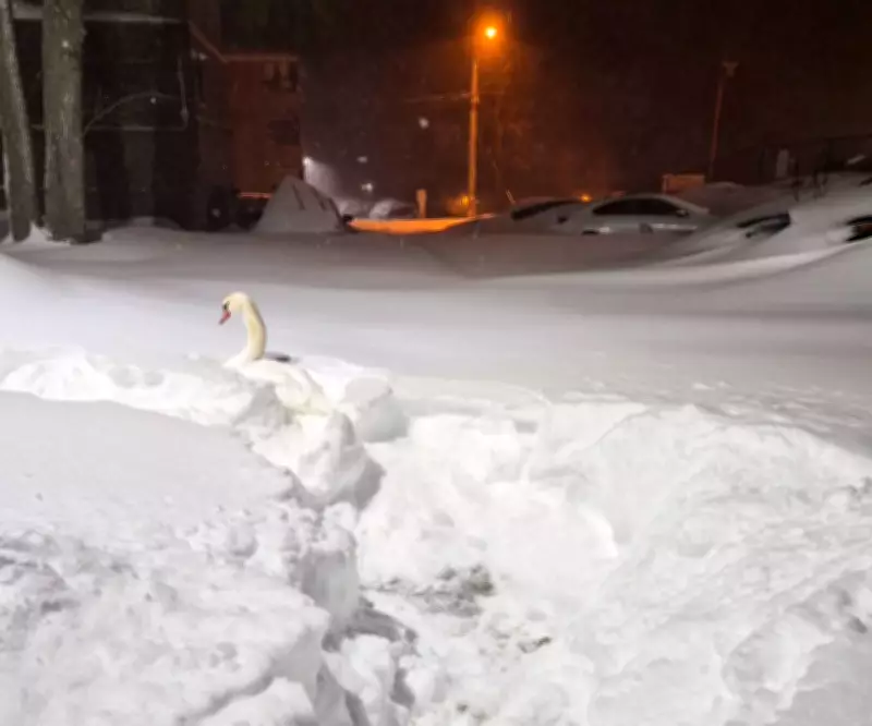
Toronto Hits Fifth Snowiest Year on Record with More Snow in Forecast
Toronto is currently experiencing its fifth snowiest year on record, according to updated data from Environment Canada. The city has accumulated a significant 189.2 centimetres of snowfall since August 1, 2025, as measured at Pearson International Airport. This milestone places the current winter season among the most severe in recent history, with more precipitation potentially on the way.
Winter Persists Despite Spring's Arrival
Environment Canada meteorologist Steven Flisfeder confirmed the snowfall totals, noting that the agency calculates its "snow years" from August through July. Despite the vernal equinox marking the official start of spring in the Northern Hemisphere, winter conditions continue to dominate Toronto's weather patterns. Flisfeder emphasized that fluctuating temperatures and precipitation are entirely typical for this transitional period.
"We're currently in an atmospheric pattern where it's almost directly west to east," Flisfeder explained. "So a few more Alberta clippers are not out of the question, but whether they bring snow or rain or a mix, there's still some pretty big question marks in that regard."

Immediate Weather Forecast and Historical Context
Another weather system is expected to approach Toronto starting Friday morning, potentially bringing a mix of snow, freezing precipitation, and rain. The exact impact remains uncertain, depending heavily on the track and timing of the low-pressure system. Flisfeder noted that if the system tracks further north, Toronto might receive only rain or miss the precipitation entirely.
Historical data reveals that late-season snowfall is not uncommon for the region. Just four years ago, Toronto recorded 6.8 centimetres of snow on April 18, 2022, while 10 centimetres fell on April 3, 2016. These instances highlight the unpredictable nature of Southern Ontario's spring weather transitions.
Meteorological Perspective on Spring Conditions
When asked about the arrival of true spring weather, Flisfeder provided a realistic assessment. "It really depends on what your definition of spring is," he stated. "To me, this up and down weather is 100% typical of spring—through at least the end of March, and most of April as well."
He further clarified that consistently warmer temperatures, typically around 15°C or higher, are generally not expected until late April. Until then, residents should prepare for continued variability, with potential snow events still possible over the coming weeks. Flisfeder concluded that it's "not impossible" for Toronto to add to this year's already substantial snowfall total before winter fully relinquishes its grip.


