
Residents of Windsor-Essex are bracing for a bout of severe weather, with significant rainfall, thunderstorms, and fog expected to sweep across the region. The forecast, issued on March 10, 2026, highlights potentially critical conditions that could impact daily activities and safety.
Weather Forecast Details
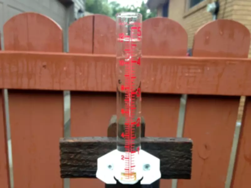
Meteorologists are predicting substantial precipitation, including heavy rain and thunderstorms, which may lead to localized flooding and reduced visibility. The fog advisory adds another layer of concern, particularly for drivers and outdoor enthusiasts. This weather system is part of a broader pattern affecting southwestern Ontario, following a brief warm-up that preceded the return of winter-like conditions.
Potential Impacts and Safety Precautions
The combination of rain, thunderstorms, and fog poses risks such as slippery roads, poor driving conditions, and potential disruptions to transportation. Authorities recommend that residents stay informed through official weather channels, avoid unnecessary travel during peak storm hours, and secure outdoor items to prevent damage. Similar weather events have been reported in other parts of Canada, including freezing rain in Ottawa and Montreal, underscoring the need for vigilance.

Broader Context of Weather Patterns
This forecast aligns with ongoing climate trends, where extreme weather events are becoming more frequent. Studies indicate that heat waves and droughts are on the rise, contributing to unpredictable weather systems. In Windsor-Essex, the current alert serves as a reminder of the importance of preparedness in the face of environmental changes, echoing concerns from experts about increased flood risks in various Canadian regions.
As the situation develops, local officials will continue to monitor conditions and provide updates. Residents are encouraged to follow safety guidelines and report any emergencies to relevant authorities to ensure community well-being during this weather event.


