
Flood Risk Escalates as Heavy Rain Pounds British Columbia's South Coast
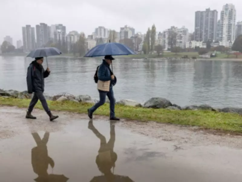
British Columbia's South Coast is facing a heightened flood threat as a prolonged atmospheric river continues to drench the region, with Environment Canada issuing a rainfall warning early Thursday. The heaviest downpours are forecast from Thursday night into Friday, exacerbating concerns over potential flooding, road washouts, and landslides.
Rainfall Totals and Regional Impacts
According to Environment Canada, parts of Metro Vancouver, the Fraser Valley, and the Sea to Sky region should prepare for significant precipitation. The North Shore and northeastern areas, including Coquitlam and Maple Ridge, are expected to receive between 80 and 130 millimetres of rain by Friday. In the Fraser Valley, such as Abbotsford and Chilliwack, rainfall could reach 100 to 120 millimetres, with even higher amounts near mountainous terrain. Whistler, Pemberton, and areas along the Sea to Sky Highway are projected to see around 75 millimetres.
Compounding Factors and Flood Warnings
The B.C. River Forecast Centre has issued a flood watch for the South Coast, noting that more than 150 millimetres of rain could accumulate across the region by Friday. This latest rainfall adds to approximately 100 to 120 millimetres at lower elevations and up to 170 millimetres over higher terrain in the past week. Freezing levels near 1,500 to 2,500 metres may trigger snowmelt, further increasing flood risks as soils are already saturated from previous storms.

River levels are currently within their banks but are anticipated to rise rapidly as the rain persists. The centre emphasized that the storm's extended duration, heavy precipitation rates, and potential rain-on-snow effects elevate the flood hazard. The flood watch covers the North Shore, Metro Vancouver, Howe Sound, the Sea to Sky Corridor, the Sunshine Coast, and the Fraser Valley.
Regional Context and Weather Outlook
While Washington State is also expected to experience heavy rain, overflow from the Nooksack River into the Sumas River watershed is considered unlikely but still possible. Environment Canada predicts that heavy rain will ease by midday Friday as a cold front moves into the Lower Mainland, with freezing levels dropping to between 500 and 1,000 metres by Saturday.
Residents are advised to stay informed and take precautions as the atmospheric river event continues to unfold.


