
Sensitive Clay Underneath Ottawa Leads to Orléans Landslide
Researchers have identified approximately 1,500 sensitive clay landslides that have occurred throughout the Ottawa Valley, with a mere seven of these events taking place along the Ottawa River itself. This geological phenomenon has shaped the landscape in unexpected ways, particularly in the Orléans area of Ottawa.
The Hidden Landscape of Orléans
Bordering the Ottawa River to the north, a striking and somewhat concealed landscape exists within a forested stretch of Orléans, near the intersection of Jeanne d'Arc Boulevard and Tenth Line Road. A series of rolling ridges defines the terrain, giving the land a rugged and almost sculpted appearance. Today, this uneven ground has become a popular spot for children to ride their bikes up and down the earthy waves, likely unaware of what originally caused the land to form in this distinctive manner.
Yet this area holds a significant geological history: The ground once gave way in an estimated 500-meter-long sensitive clay landslide that reshaped the landscape in a matter of minutes. Researchers find it challenging to pinpoint exactly when this event occurred, but mature trees and thick vegetation now blanketing the ridges suggest the earth has been settled in this configuration for at least several centuries.

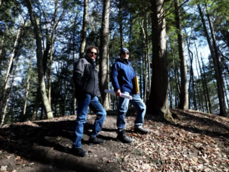
Mapping and Understanding Landslide Triggers
Researchers at the Geological Survey of Canada (GSC), which operates as part of Natural Resources Canada, are actively working to map and date sensitive clay landslides throughout the Ottawa Valley. Their mission includes trying to better understand what triggers these geological events and how their impacts might be reduced in the future.
"Landslides are a naturally occurring phenomenon," explained Greg Brooks, a geomorphologist with the GSC and NRCan. "They're not some act of God; they're a process that occurs in our landscape. They've occurred many times in the past, and they will occur again in the future."
Greg Brooks and Marc Hinton are researchers with the Geological Survey of Canada and Natural Resources Canada who specialize in studying and documenting landslides in eastern Ontario. Their work has revealed that while roughly 1,500 sensitive clay landslides have occurred in the Ottawa Valley, only seven have happened along the Ottawa River. Tributaries such as the Gatineau, Quyon, and Lièvre rivers are among the most common sites for these events, according to Didier Perret, a GSC and NRCan research scientist who has spent years counting and mapping each of these landslides.
The Unstable Foundation of Ottawa
Much of Ottawa and the surrounding valley sits atop unstable marine clay, often referred to as sensitive clay or Leda clay. Within the city, this material is most prominent along the Ottawa River, particularly near Orléans in the northeast and Dunrobin in the northwest, Brooks noted.
This clay dates back to the end of the last ice age, when the Champlain Sea covered what are now the Ottawa and St. Lawrence valleys. Glacier melt combined with saltwater from the ocean and deposited fine clay sediments on the sea floor, explained Marc Hinton, a GSC and NRCan hydrogeologist.
When the ocean eventually receded and saltwater drained away, the clay's plate-like particles formed a fragile structure around the salt left behind. Today, much of the Ottawa region is built on what was once the Champlain Sea bed from approximately 10,000 years ago.
The clay structure remains highly sensitive and can be disturbed by various factors such as riverbank erosion, heavy rainfall, earthquakes, or even human activities including construction blasting, Perret emphasized. This disturbance causes the clay structures to collapse abruptly, transforming from a solid into a liquid state and potentially triggering significant landslide events.
The ongoing research by the Geological Survey of Canada aims to provide valuable insights into these geological processes, helping communities better understand and prepare for the unique challenges posed by the sensitive clay foundations beneath the Ottawa Valley.


