Avalanche Danger Prompts Extended Highway 93 Closure in British Columbia
Parks Canada has implemented a critical safety closure of Highway 93 in the Mount Revelstoke and Glacier National Park area due to significant avalanche risk. The highway is now closed to all traffic from 2:00 p.m. on March 18, 2026, and will remain shut down until at least noon on March 21, 2026.
Safety Measures and Duration of Closure
The decision to close this major transportation route was made following thorough assessments by avalanche safety experts. Sophie Deschamps, a representative from Parks Canada, confirmed that the closure is necessary to protect public safety during this period of heightened geological instability. The specific stretch of Highway 93 affected runs through mountainous terrain that is particularly vulnerable to snow slides during current weather conditions.
"When avalanche risks reach this level, we have no choice but to restrict access until conditions improve," explained Deschamps. "The safety of travelers and our staff is always our top priority."

Impact on Travel and Regional Transportation
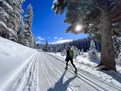
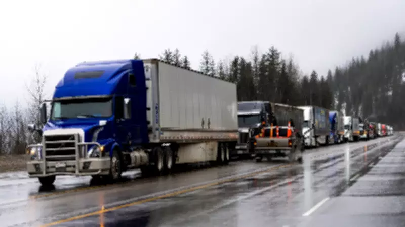
This closure will significantly disrupt travel plans for both local residents and visitors to the region. Highway 93 serves as a crucial corridor through the national parks, connecting communities and providing access to recreational areas. Travelers are advised to:
- Seek alternative routes well in advance of planned journeys
- Check official Parks Canada websites for real-time updates on road conditions
- Prepare for potential delays even after the highway reopens
- Monitor weather forecasts for changing avalanche conditions
The closure period from March 18 to March 21 represents a minimum timeframe, with officials noting that extensions are possible if avalanche risks persist beyond the initial assessment period. Parks Canada will conduct daily evaluations of snow stability and weather patterns to determine when it is safe to reopen the highway to traffic.
Regional Context and Safety Protocols
This area of British Columbia has experienced increased avalanche activity in recent years, prompting more frequent highway closures during high-risk periods. Parks Canada maintains rigorous monitoring systems including:
- Regular snowpack stability assessments
- Weather station networks throughout the mountain passes
- Collaboration with meteorological services for advanced warning systems
- Trained avalanche control teams ready to conduct mitigation measures when safe to do so
While inconvenient for travelers, these precautionary closures have proven effective in preventing avalanche-related incidents on British Columbia's highways. The current closure follows established protocols that balance transportation needs with absolute safety requirements in geologically unstable mountain environments.