Residents in Kingsville, Ontario, have taken the initiative to log trees in their community as part of a project to create an accurate internet coverage map. The effort, reported by Kathie McMann and Rob Hindi, aims to address gaps in broadband service that have long frustrated locals.
Community-Driven Mapping
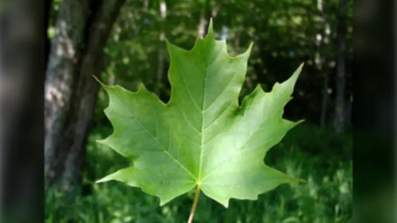
Volunteers are systematically recording tree locations and densities, which can obstruct wireless signals and degrade internet quality. The data will be used to identify dead zones and advocate for better infrastructure. According to a local organizer, the project has already mapped over 500 trees in the first week.
Kingsville, a town in Essex County, has struggled with inconsistent internet speeds, particularly in rural areas. The coverage map is expected to help providers target upgrades more effectively.

Impact on Internet Service
“We need reliable internet for work, school, and daily life,” said a resident involved in the project. “This map shows exactly where the problems are.” The initiative has gained support from the municipality, which is considering using the data to apply for provincial broadband funding.
Ontario has pledged to connect every community to high-speed internet by 2028, but local efforts like this are seen as crucial to speeding up the process. The tree-logging project is one of several grassroots actions across the province to address connectivity issues.